Melway Bayside Council WallMap
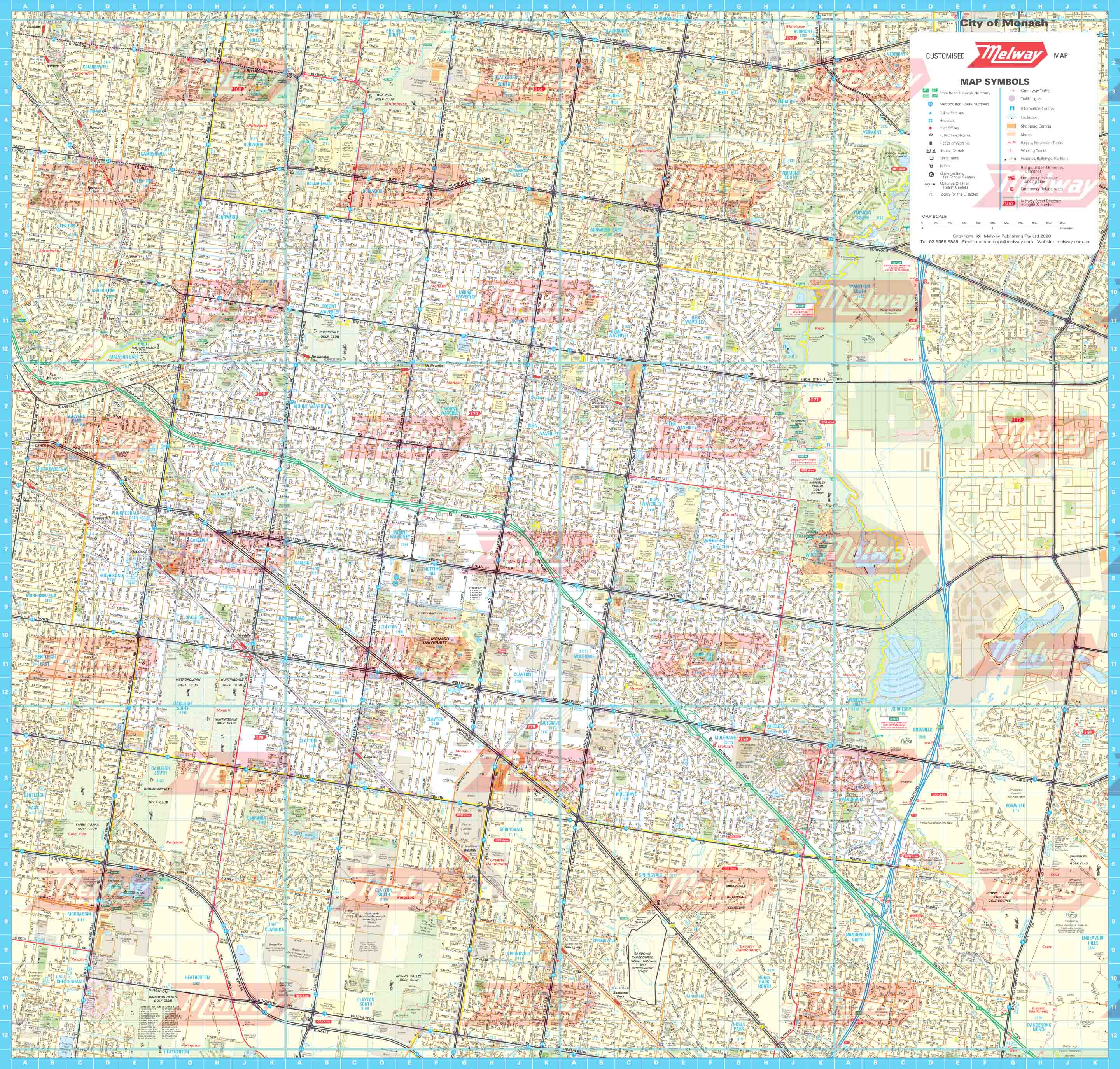
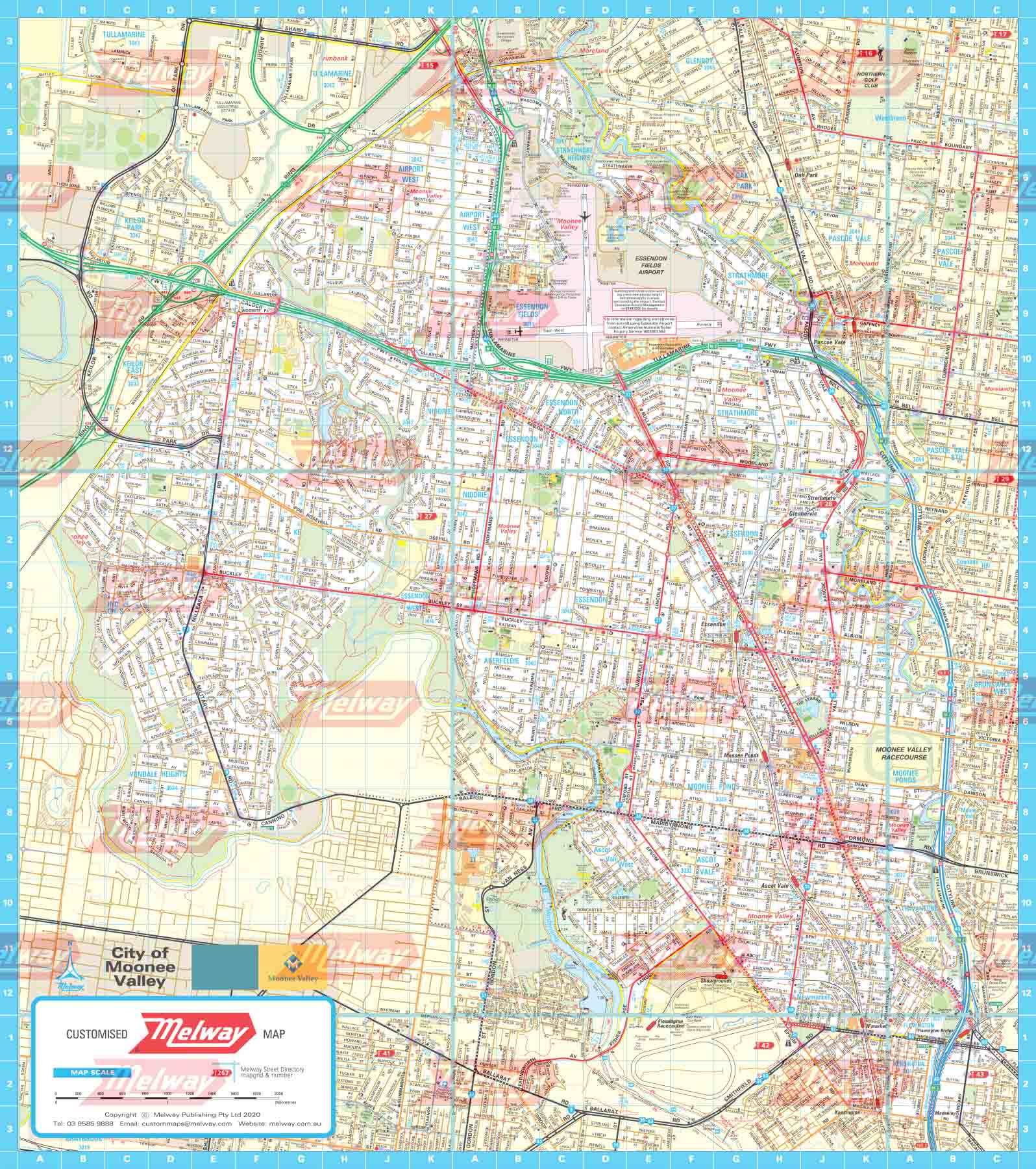
Bayside Council WallMap is compiled from the blue border maps in the latest Melway, showing the municipality boundary.
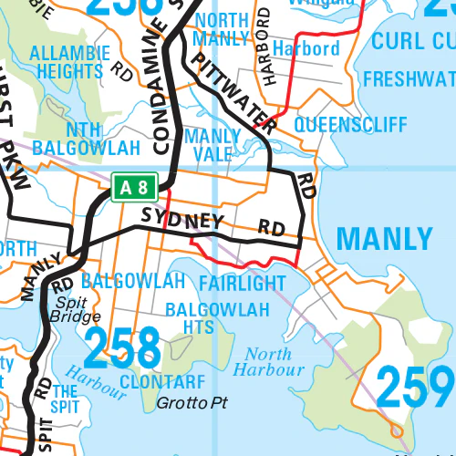
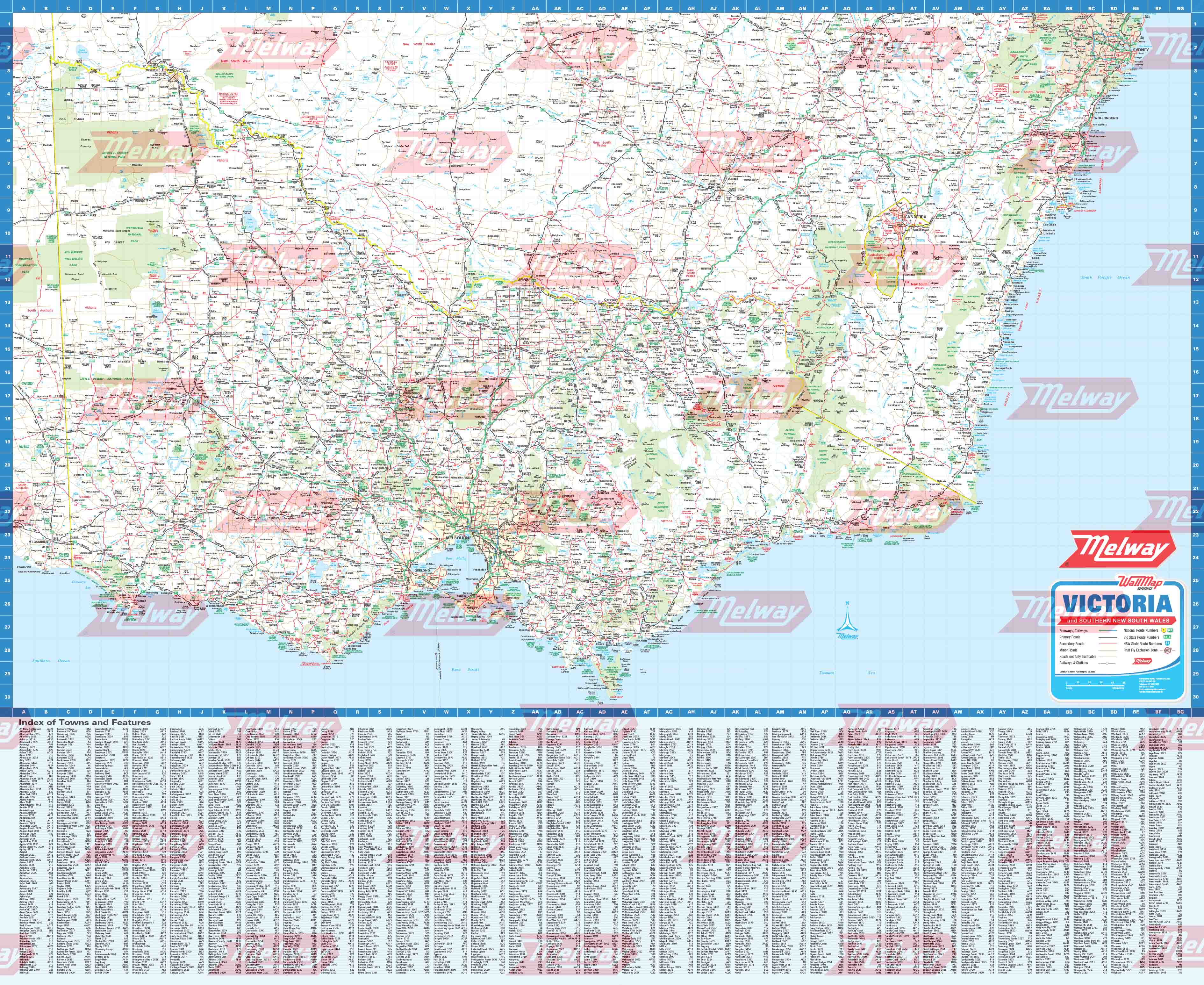
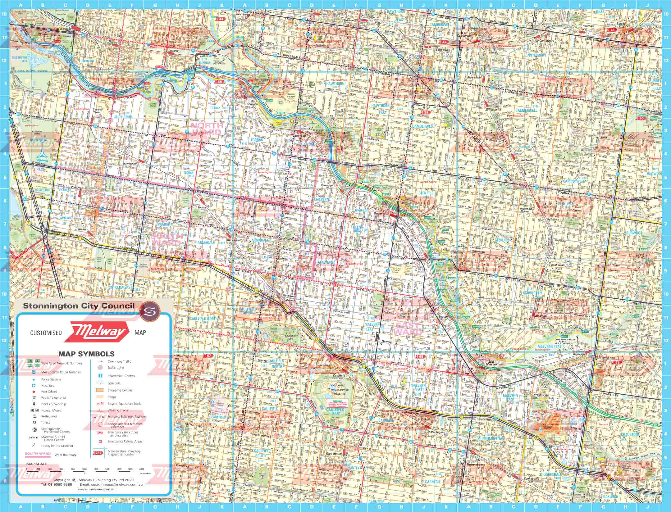
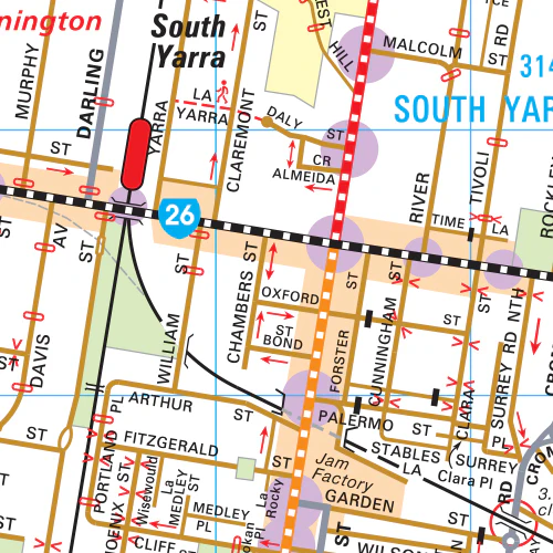
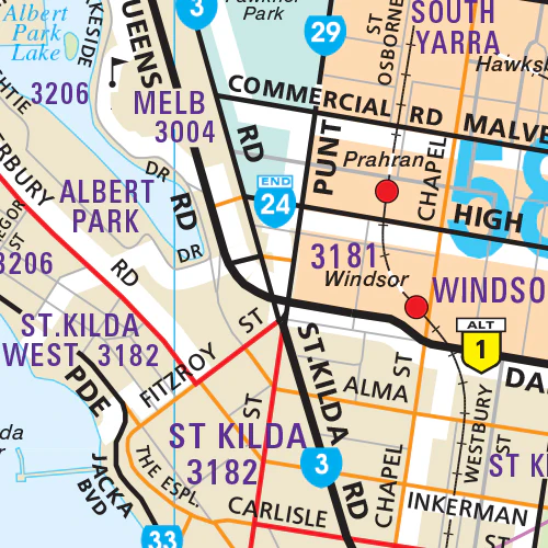
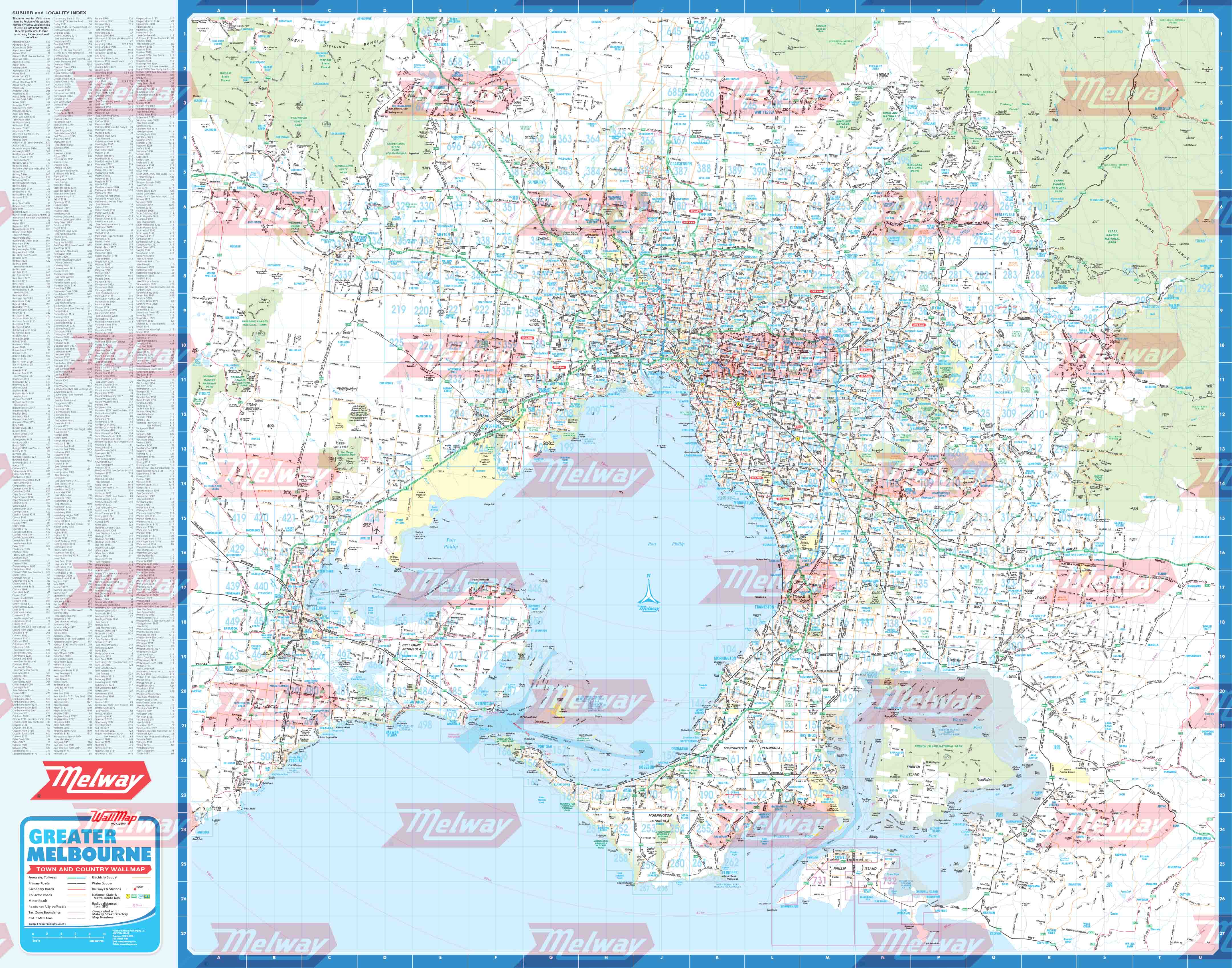
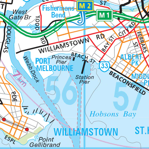
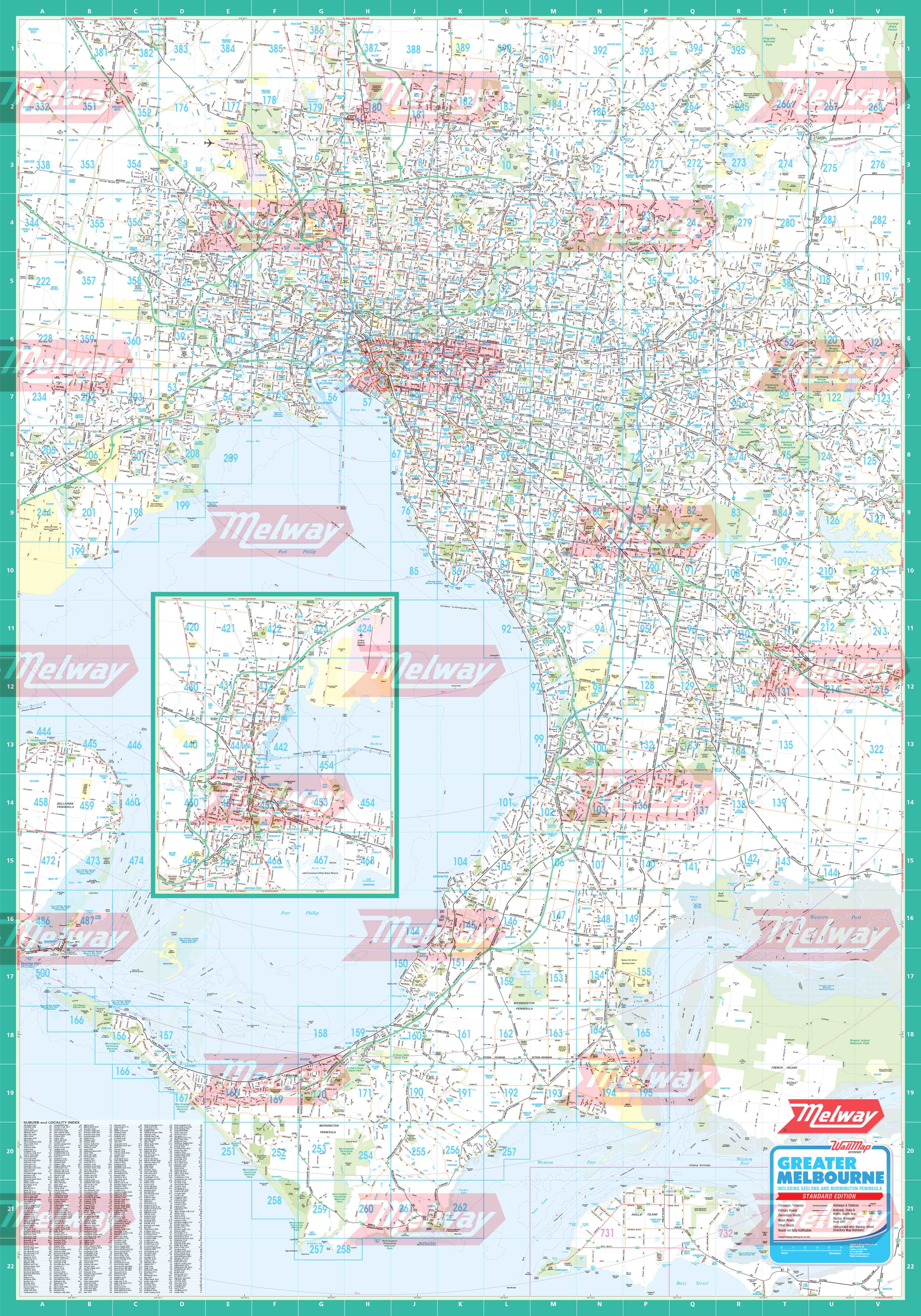
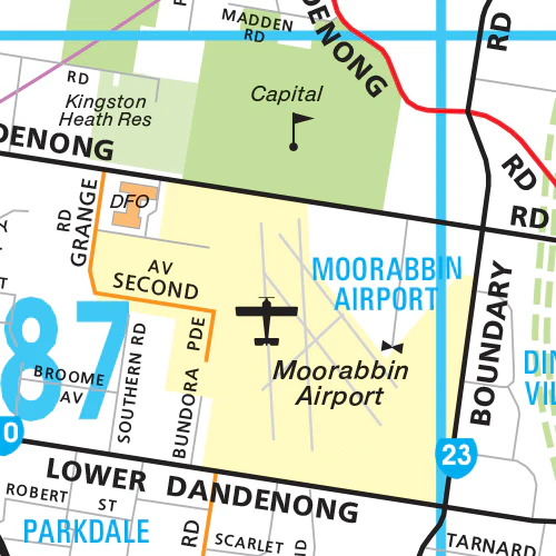
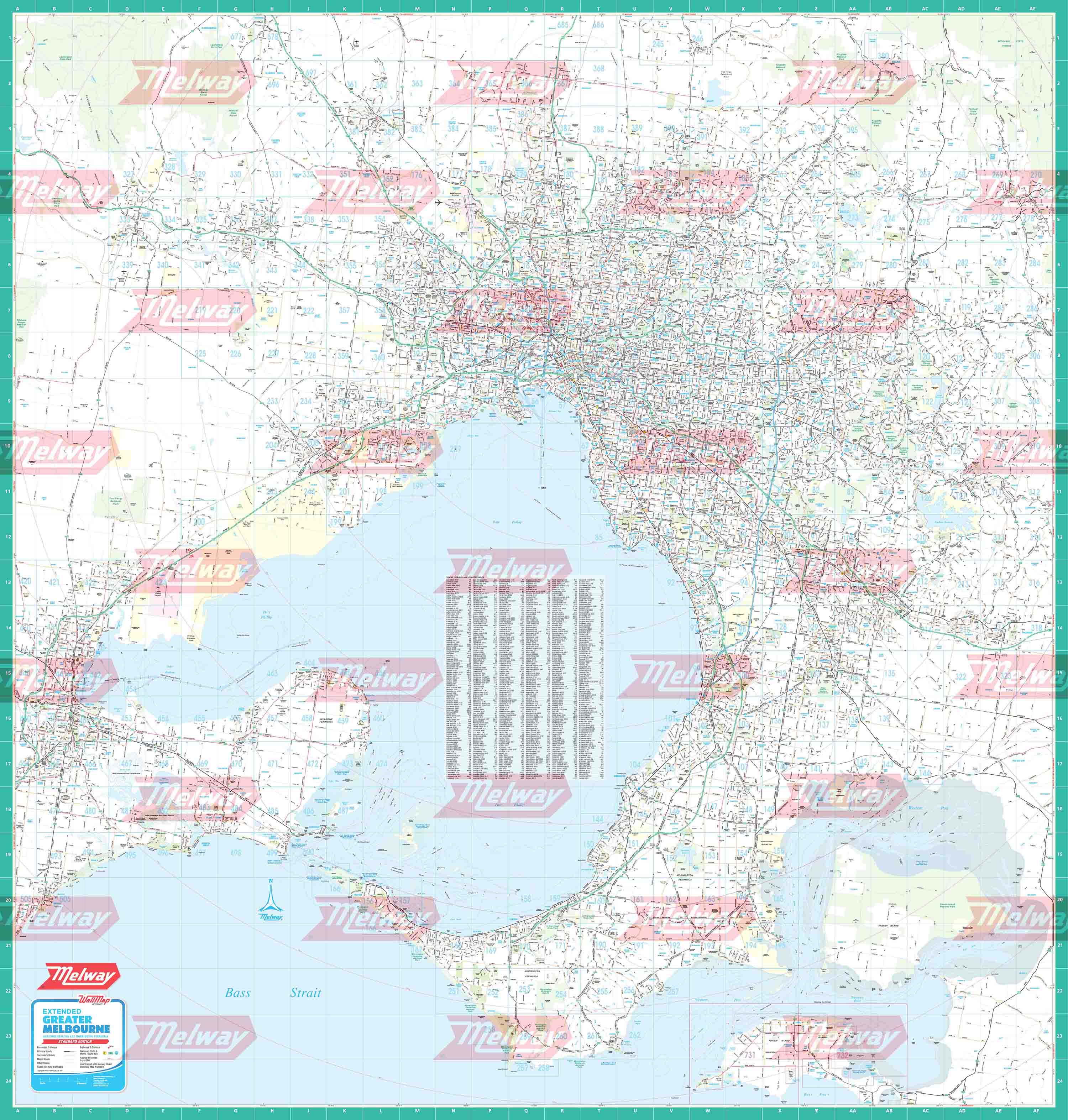
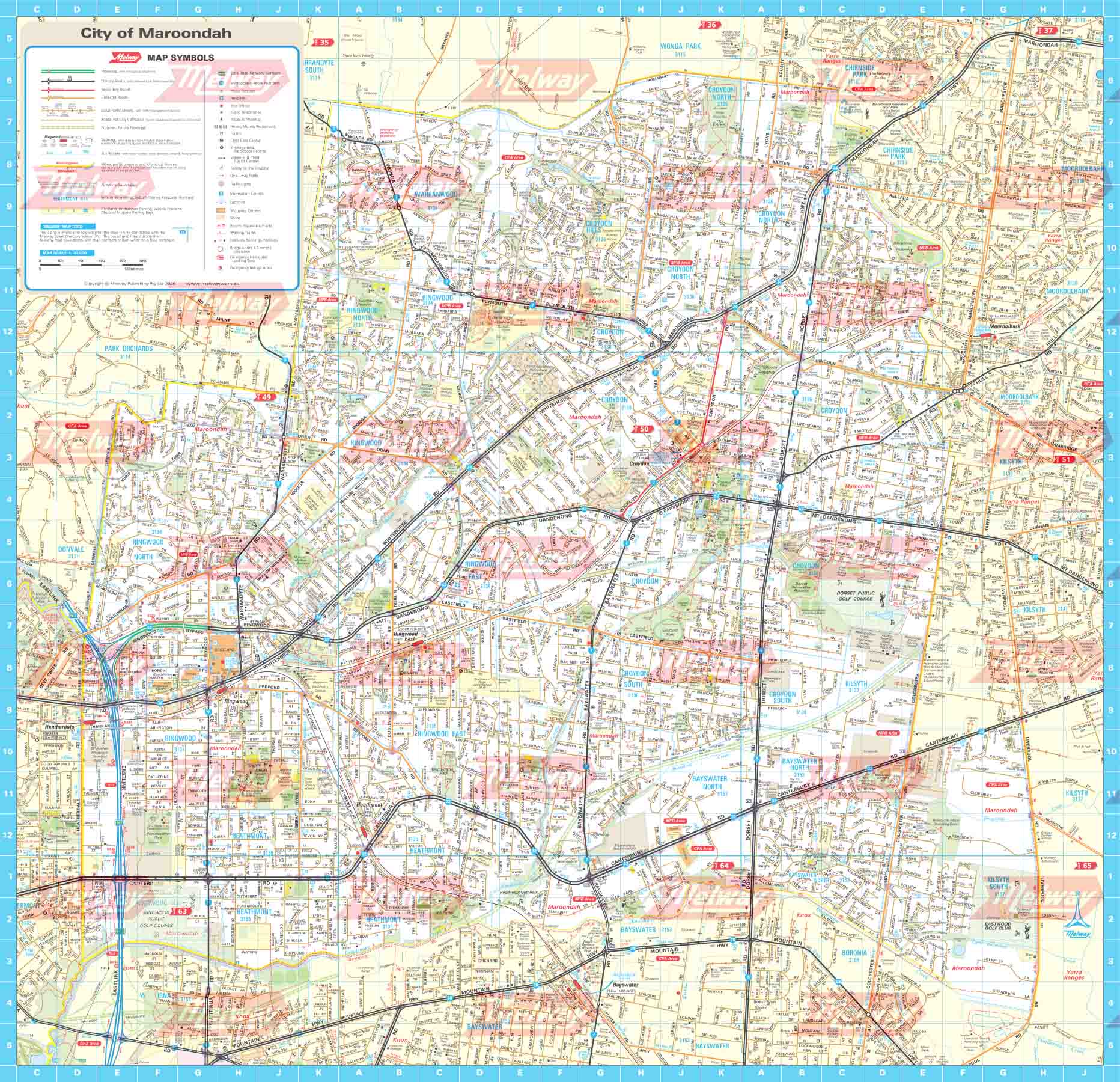
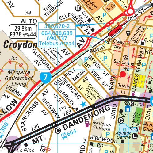
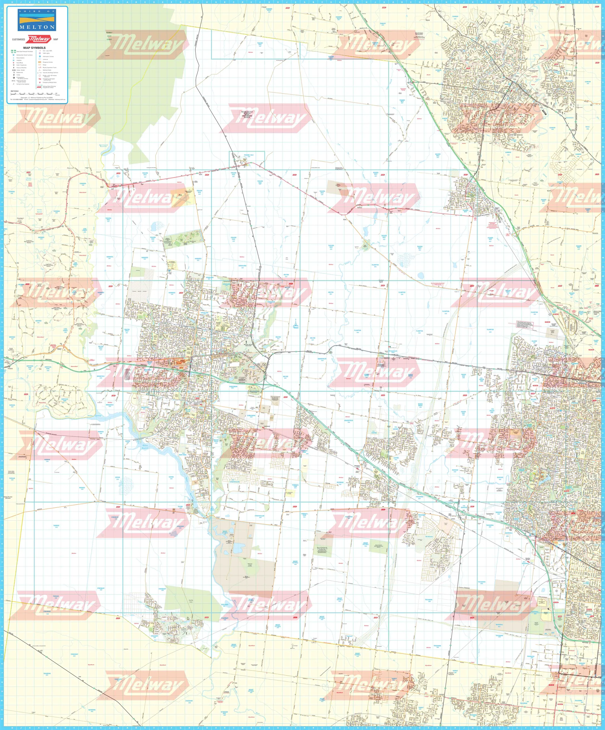
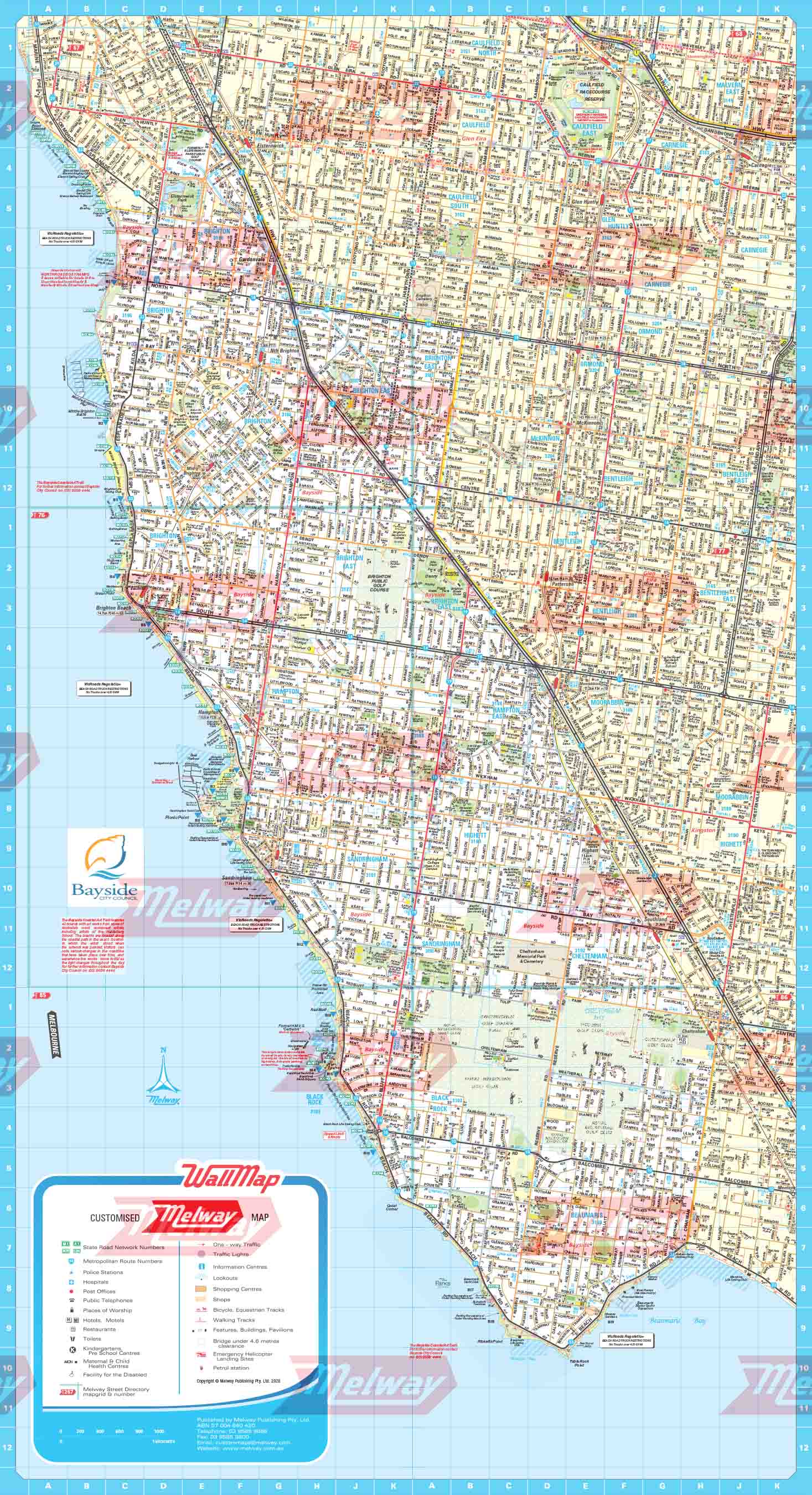
Bayside Council WallMap is compiled from the blue border maps in the latest Melway, showing the municipality boundary. The Melway alpha-numeric grid reference is printed around the edge and a map number icon easily identifies the relevant maps. The area outside the municipality is shown with a light yellow backdrop to further highlight the boundary. The map is printed in high resolution on quality paper in full colour. This is a premium product for the workplace or simply a great gift idea. Approx Size 765mm (w) x 424mm (h), Scale 1:20,000 You can have the map laminated for extra protection at an additional cost.
Original: $97.71
-70%$97.71
$29.31Product Information
Product Information
Shipping & Returns
Shipping & Returns
Description
Bayside Council WallMap is compiled from the blue border maps in the latest Melway, showing the municipality boundary.
Bayside Council WallMap is compiled from the blue border maps in the latest Melway, showing the municipality boundary. The Melway alpha-numeric grid reference is printed around the edge and a map number icon easily identifies the relevant maps. The area outside the municipality is shown with a light yellow backdrop to further highlight the boundary. The map is printed in high resolution on quality paper in full colour. This is a premium product for the workplace or simply a great gift idea. Approx Size 765mm (w) x 424mm (h), Scale 1:20,000 You can have the map laminated for extra protection at an additional cost.